Land Surveyors use a wide variety of tools and equipment in their day to day work; it will vary depending on the type of survey being done, here’s a few examples:
‘Drones’ are unpiloted aircraft or spacecraft. Surveyors use them because they provide a fast, safe and cost-efficient way to survey at height.
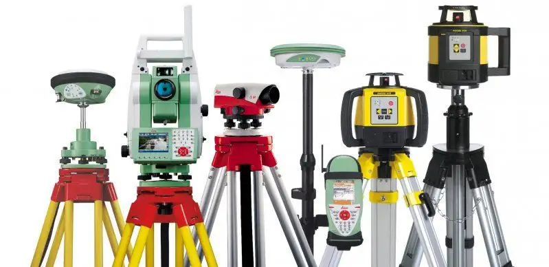
‘Theodolites’ measure precise horizontal and vertical angles for the purpose of triangulation. They can workout the location and distance of a point through the formation of triangles.
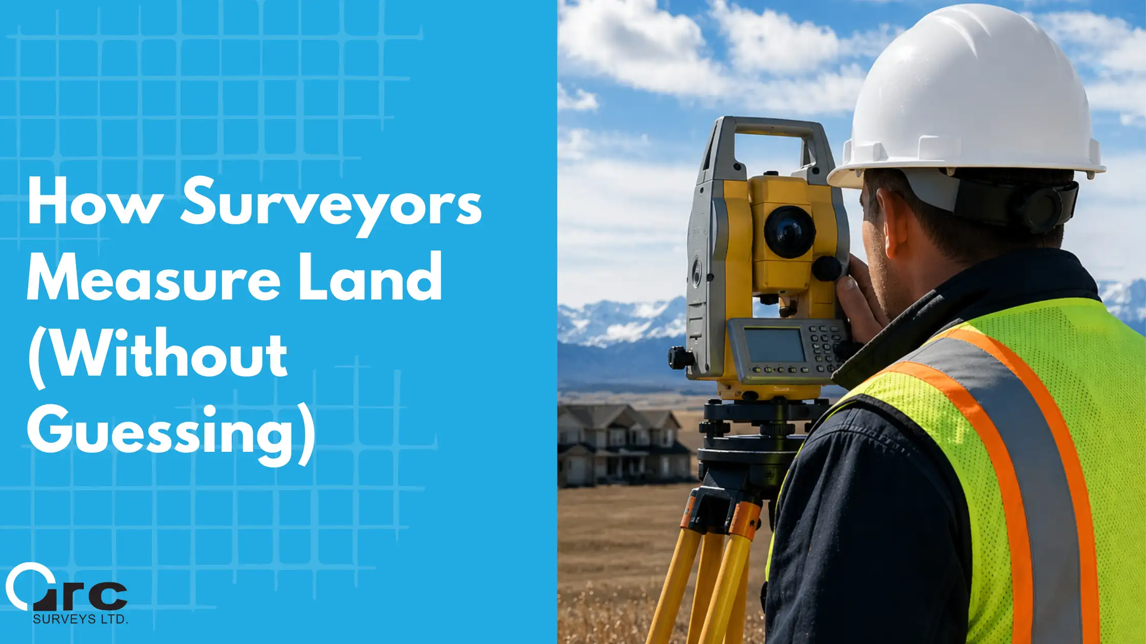
‘Total stations’ modern theodolite’s, these are currently the most commonly used tool for surveyors because of its accuracy. The data that is collected and processed can be downloaded for further processing. They do angles and distance measurements (EDM) but can also have cameras/scanners and even GNSS units built into them now too, as well as being robotic (they can spin themselves around to find you and the pole/prism).
‘Measuring wheels’ are used for quicker and lower accuracy surveys of long distances by rolling it from the start to end point. You may have seen a person using one of these near a road, or in your school playground or on sports pitches.
‘Prism Poles’ are used to measure the elevation of existing ground or grade when used in conjunction with a survey level such as an Automatic Level, Transit Level, or Laser Level.
‘Surveying Prisms’ are a corner cube or retroreflector, usually attached to a surveying pole and utilized as a target for distance measurement. Modern alternative to the measuring wheel.
 ‘Surveying Tripods’ are a special tripod built to support surveying instruments, such as theodolites, total stations, levels, prisms or transits
‘Automatic levels’ are optical instruments used in surveying and building to transfer, measure, or set horizontal levels. The level instrument is set up on a tripod.
‘Digital levels’ offer fast and accurate readings utilising a bar coded staff. They offer the opportunity to record readings at the touch of a button as well as displaying the distance to the staff.
‘Chains’ are one of the oldest and simplest methods of making measurements. Distances can be measured using the chain’s length. Angles can either be measured directly or calculated by moving one end of the chain by a known distance.
‘Prismatic compasses’ can measure angles effectively. This is typically combined with a chain to take distance measurements.
‘Clinometer’ (or inclinometer) is an instrument for measuring angles of slope (or tilt), elevation or depression of an object with respect to gravity.
‘Global Navigation Satellite System’ (GNSS) refers to a constellation of satellites providing signals from space that transmit positioning and timing data to GNSS receivers. The receivers then use this data to determine location. By definition, GNSS provides global coverage. Examples of GNSS include Europe’s Galileo, the USA’s NAVSTAR Global Positioning System (GPS), Russia’s Global’naya Navigatsionnaya Sputnikovaya Sistema (GLONASS) and China’s BeiDou Navigation Satellite System.
 ‘Disto laser measurers’ are ideal for quick, easy and precise measurements of distances such as length and volumes with the press of a button, even in inaccessible places. These save money and time as well as improve the accuracy of measurement on site.
‘Ground penetrating radar’ (GPR) is a geophysical survey method that uses pulses of electromagnetic radiation to image the subsurface. It provides a non-intrusive and non-destructive method of surveying the sub-surface. Therefore it is a useful survey technique to investigate many types of materials.
‘Laser Scanners’ deliver a high definition output and can be in 3D. They can be used alongside traditional surveying equipment or as an alternative to total stations. Laser scanning carries lots of advantages as the surveyor can quickly and easily collect a large amount of data over a short period of time. This data is the combination of millions of data points which, when put together, forms a point cloud image of the survey area. Data can be interpreted by computer aided design (CAD), building information modelling (BIM) or geographic information system (GIS) software.
This guest blog post was written by the team at “Get Kids into Survey” They’re awesome, and you can learn more about them here.
Arc Surveys
We help you sleep better by providing Real Property Reports and Land Surveying solutions.